OS1/34/28/3
| List of names as written | Various modes of spelling | Authorities for spelling | Situation | Description remarks |
|---|---|---|---|---|
| ECCLESMACHAN | Ecclesmachen Ecclesmachen Ecclesmachan Ecclesmachan Ecclesmachan Ecclesmachan Ecclesmachan Ecclesmachan Ecclesmachan |
Sherrif's List of parishes Oliver & Boyds Almk [Almanack] New Stat Acct [Statistical Account] Old Stat Acct [Statistical Account] vol 2 p367 Johnston's Co. [County] Map Chalmers Caledonia Fullarton's Gazeteer Revd [Reverend] I. Smith, Minr. [Minister] of Ecclesmachan Forrest's Co. [County] Map |
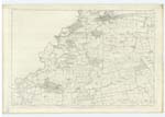
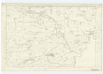
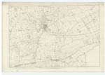
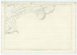
005 ; 006 ; 009 ; 010 | [situation] Near the Central part of the Co. [County] Linlithgow A parish consisting of two detached and nearly equal parts both in the County Linlithgow the one near the centre of the County and the other somewhat to the north east and contains the parish church. The South-western part is bounded on the north by Linlithgow on the east by Uphall on the South by Uphall and Livingston and on the South-west and west by Bathgate. It is of an oblong figure and its greatest length is about 2¾ miles and its breadth about 1½. The Parish or a Detached north-eastern part lying at the nearest point a mile apart from the other is bounded on the north by Abercorn and the Auldcathie portion of Dalmeny on the east by Kirkliston on the south by Uphall and on the west by Linlithgow. It is of irregular outline and is about 1¾ miles in length and about 1½ in breadth whilst part of it is only about ¾ in breadth. Except the south-western section of the south-western part. Where the low hills of Bathgate begin to rise, the whole parish is a flat corn county [continued on page 4] |
Continued entries/extra info
[Page] 3Parish of Ecclesmachan
Transcribers who have contributed to this page.
Nora Edwards, alamer
Location information for this page.


