OS1/32/27/21


| List of names as written | Various modes of spelling | Authorities for spelling | Situation | Description remarks |
|---|---|---|---|---|
| Gillies Hill | Gillies Hill | Revd [Reverend] Robert Paisley St Ninians Robert Curror Esqr (Factor) Mr William Knox Schoolmaster St Ninians Johnstone's County Map Grassom's County Map |
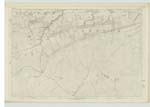
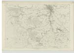
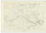
017 | A Small range of Hills mostly Covered with wood, very precipitous on the North and West, but Sloping gently down to the South and East. The property of John Murray Esqr. It was on the South East of this hill that the Gillies (Servants), and Camp followers encamped at the Battle of Bannockburn and from this circumstances it taKes its name. |
| Bannock Burn | Bannock Burn Bannock Burn Bannock Burn Bannock Bannockburn Water Bannockburn Water |
Revd. [Reverend] Robert Paisley Robert Curror Esqr Mr William Knox Statistical Account Johnston's County Map Grassom's County Map |
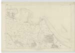
016 ; 017 ; 018 ; 023 | A Small Rivulet which rises in the Moors at the foot of Earl's Hill and falls into the Forth Near the Manor, Its bed is rocKy, banks rugged and Course rapid until it gets to the Carse below the Village of Bannockburn when its bed is mud & course Sluggish. The tide rises about three quarters of a Mile up the Stream. It Supplies Several Mills in its course both Woolen and Flour. |
Continued entries/extra info
[Page] 21Transcribers who have contributed to this page.
wilson5bh
Location information for this page.
Linked mapsheets.