OS1/30/14/56


| List of names as written | Various modes of spelling | Authorities for spelling | Situation | Description remarks |
|---|---|---|---|---|
| Dryhope Rig | Dryhope Rig | William Tait, Shepherd Dryhope. Walter Tait Shepherd Dryhope. John Linton, Gamekeeper, Mountbengerburn. |
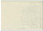
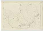
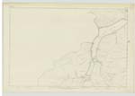
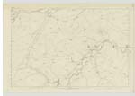
009 | An extensive ridge of mountain land covered with rough heathy pasture, and situated between Dryhope Burn and Kirkstead Burn. |
| Dryhope Burn | Dryhope Burn | Walter Tait. William Tait. John Linton. |
009 ; 010 ; 013 ; 014 | A mountain stream rising near the east end of Deepslack Knowe and flowing southward past Dryhope and falling into Yarrow Water near St Mary's Loch. |
| Black Cluech | Black Cleuch | Walter Tait. William Tait. John Linton. |
009 | A steep rocky ravine with a small strewam running though it: Situated between Drycleuch Rig and Black Rig. |
Continued entries/extra info
[Page] 56Parish of Yarrow
Sheet 9 Trace 6
Transcribers who have contributed to this page.
Skinnb1- Moderator, Soutar99
Location information for this page.