OS1/23/4/1


| List of names as written | Various modes of spelling | Authorities for spelling | Situation | Description remarks |
|---|---|---|---|---|
| EDAY [parish] | Eday | Imp Gazetteer of Scotland Johnston's Map of Orkney Stat a/c of Scotland Oliver & Boyd's Edinburgh Almanac Orkney & Shetland Guid & Directory Peaces County Directory Philips County Atlas of Scotland Peaces Map of the Orkney Islands John A. Bruce, Sheriff Clerk Orkney Handbook to the Orkneys. |
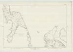
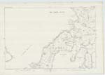
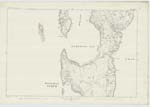
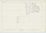
080; 081; 086; 091 | Eday, a parish near the middle of the North Isles of Orkney. It comprises the inhabited islands of Eday and Faray. The inhabited islets of Holm of Faray and Red Holm, lying to the north of Faray; the Calf of Eday lying to the north east of Eday; the Little Green Holm, and the Muckle Green Holm. lying to the south west of Eday & several uninhabited islets. Eday extends north and south, with a length of about 7 1/2 miles and a breadth of 3 miles. Its north end is 1 1/2 miles west of Sanday and 2 1/2 miles east of Westray; its south end is 2 1/2 miles west of Stronsay, and 5 miles east of Rousay; and its southerm extremity is 3 1/2 miles north by east of Shapinsay & 13 1/2 miles north north east of Kirkwall. the parish is in the presbytery of North Islas and Synod of |
Transcribers who have contributed to this page.
MoragSinclair
Location information for this page.