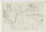
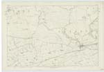
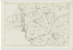
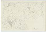
OS1/5/22/1
| List of names as written | Various modes of spelling | Authorities for spelling | Situation | Description remarks |
|---|---|---|---|---|
| GORDON | Gordon (Parish) | County Map Chalmers Caledonia Fullerton's Gazeteer Scotland |
020 ; 021 ; 026 ; 027 | The name of this parish was originally Goirtean -(Goirtean) Signifying a little field - a little farm - a little cornfield. It lies in the western part of the Merse, Berwickshire and is about 7 miles long, by from 2 to 4 in breadth, Containing about 21 miles. Its form is oval, and is bounded on the West by the parish of Legerwood, on the North by Legerwood, Westruther, and part of Greenlaw; on the East by Greenlaw; and on the South by Hume & by part of Earlston. It contains no mountains; and the whole surface is uneven & hilly. The situation of the parish is high, and the atmosphere in general pure and Salubrious. The district is exposed to no prevalent distempers. The small river Eden runs through the parish from the North to South, dividing it nearly into two equal parts. The Blackadder bounds it [continued on page 2] |
Continued entries/extra info
[Page] 1Parish of Gordon -- [Signed] W Beatty
Transcribers who have contributed to this page.
Trondragirl- Moderator, JAC
Location information for this page.


