OS1/5/6/7


| List of names as written | Various modes of spelling | Authorities for spelling | Situation | Description remarks |
|---|---|---|---|---|
| LAMMERMOOR (District) | Lammermoor (District) | Map of Berwickshire New Statistical account of Berwickshire Map of Scotland Fullertons Gazetteer of Scotland |
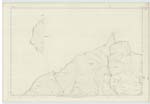
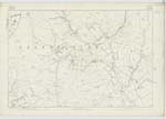
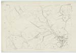
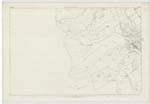
007; 013; 019 | In ancient times the shire of Berwick seems to have been a separate jurisdiction from the Bailliary of Lauderdale, & to have been divided into the Merse and Lammermoor Districts. It is not easy to say what had been the exact boundaries & extent of these 3 divisions now almost obsolete. For the purposes of agricultural inquiry the whole county may be very conveniently considered under two districts, the Merse, & Lammermoor, the former including all the comparatively low land along Tweed, Whiteaddeer, Blackadder, & Eye; & the latter comprehending Lauderale, along with the more eastern hilly country peculiarly called Lammermoor. According to the general divisions of the county just pointed out, the Merse designates the lower ground from Tweed, up the cultivated slopes of the southern range of the Lammermoor hills, including the Western parishes of Nenthorn & Mertoun, & forming the largest piece of [Continued on page 8] |
Continued entries/extra info
[page] 7Channel Kirk Parish
Transcribers who have contributed to this page.
Moira L- Moderator, krazykaka
Location information for this page.