
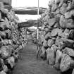
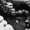
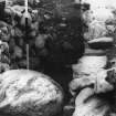
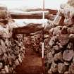
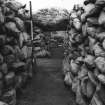
Excavation photograph : View of interior looking towards the entrance.
View in Canmore
View in Canmore

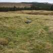
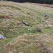
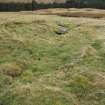
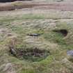
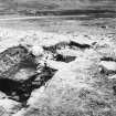
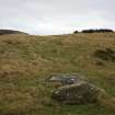
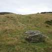
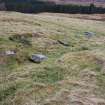
General view over Rosal souterrain
View in Canmore
View in Canmore

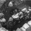
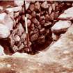
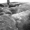
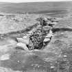
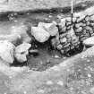
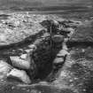
Excavation photograph : views down into souterrain.
View in Canmore
View in Canmore

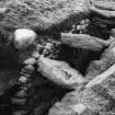
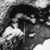
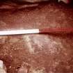
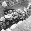
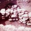
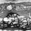
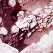
Excavation photograph : alcove without blocking.
View in Canmore
View in Canmore

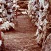
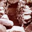
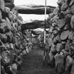
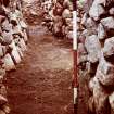
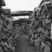
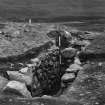
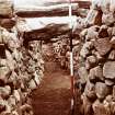
Excavation photograph : view along souterrain passage.
View in Canmore
View in Canmore

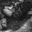
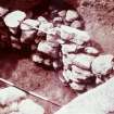
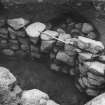
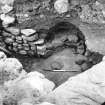
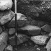
Excavation photograph : alcove in SW wall of souterrain with blocking.
View in Canmore
View in Canmore

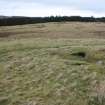
General view over Rosal souterrain
View in Canmore
View in Canmore

Excavation photograph : souterrain passage from SE end.
View in Canmore
View in Canmore

Excavation photograph : alcove in SW wall of souterrain with blocking.
View in Canmore
View in Canmore

Excavation photograph : views down into souterrain.
View in Canmore
View in Canmore

Excavation photograph : souterrain viewed from SE end.
View in Canmore
View in Canmore

Excavation photograph : view of end of souterrain.
View in Canmore
View in Canmore

Excavation photograph : view of end of souterrain.
View in Canmore
View in Canmore

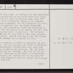
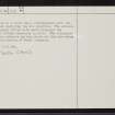
Rosal, NC64SE 28, Ordnance Survey index card, page number 2, Verso
View in Canmore
View in Canmore

General view over Rosal souterrain
View in Canmore
View in Canmore

General view over Rosal souterrain
View in Canmore
View in Canmore

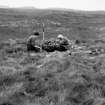
Excavation photograph : view of souterrain - pre ex?
View in Canmore
View in Canmore

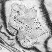
Estate plan of Rosal 1811 PRINT ONLY PSAS P1 12a
View in Canmore
View in Canmore

Excavation photograph : alcove without blocking.
View in Canmore
View in Canmore

Excavation photograph : View of interior looking towards the entrance.
View in Canmore
View in Canmore

Excavation photograph : SE end of souterrain.
View in Canmore
View in Canmore

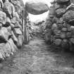
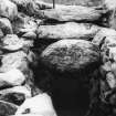
Excavation photograph : souterrain lintels from SE end.
View in Canmore
View in Canmore

Excavation photograph : alcove in SW wall of souterrain with blocking.
View in Canmore
View in Canmore

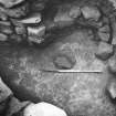
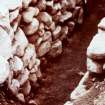
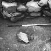
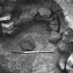
Excavation photograph : detail in centre of alcove.
View in Canmore
View in Canmore

Excavation photograph : alcove without blocking.
View in Canmore
View in Canmore

Excavation photograph : souterrain passage.
View in Canmore
View in Canmore

Excavation photograph.
View in Canmore
View in Canmore

Rosal, NC64SE 28, Ordnance Survey index card, page number 1, Recto
View in Canmore
View in Canmore

General view over Rosal souterrain
View in Canmore
View in Canmore

Excavation photograph : Alcove in SW wall of souterrain, with blocking.
View in Canmore
View in Canmore

Excavation photograph : Alcove without blocking.
View in Canmore
View in Canmore

Excavation photograph : SE end of souterrain.
View in Canmore
View in Canmore

Excavation photograph : boulder lintel in souterrain.
View in Canmore
View in Canmore

Excavation photograph : souterrain viewed from SE end.
View in Canmore
View in Canmore

Excavation photograph : view of interior looking towards entrance.
View in Canmore
View in Canmore

Excavation photograph : view of souterrain lintels.
View in Canmore
View in Canmore

Excavation photograph - view along souterrain passage towards entrance.
View in Canmore
View in Canmore

Excavation photograph : alcove in SW wall of souterrain, with blocking.
View in Canmore
View in Canmore

General view over Rosal souterrain
View in Canmore
View in Canmore

Excavation photograph : entrance to souterrain.
View in Canmore
View in Canmore

Excavation photograph : Alcove in SW wall of souterrain, with blocking.
View in Canmore
View in Canmore

Excavation photograph : souterrain viewed from SE end.
View in Canmore
View in Canmore

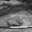
Excavation photograph : stone in centre of alcove.
View in Canmore
View in Canmore

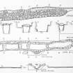
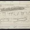
Plans and sections (Mounted copy-no negative) from PSAS (1967 -8) p.114, fig 1.
View in Canmore
View in Canmore

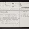
Rosal, NC64SE 28, Ordnance Survey index card, Recto
View in Canmore
View in Canmore

Excavation photograph : at entrance to souterrain.
View in Canmore
View in Canmore

General view over Rosal souterrain
View in Canmore
View in Canmore

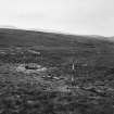
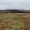
General panorama over Rosal souterrain
View in Canmore
View in Canmore

Excavation photograph : inside the souterrain.
View in Canmore
View in Canmore

Excavation photograph : end of souterrain.
View in Canmore
View in Canmore

Excavation photograph : alcove in SW wall of souterrain with blocking.
View in Canmore
View in Canmore

Excavation photograph : view of interior of souterrain looking towards entrance.
View in Canmore
View in Canmore

Excavation photograph : view of interior of souterrain passage.
View in Canmore
View in Canmore

Excavation photograph : view along souterrain passage towards entrance.
View in Canmore
View in Canmore

Excavation photograph : view down into souterrain.
View in Canmore
View in Canmore

Rosal, NC64SE 28, Ordnance Survey index card, page number 3, Recto
View in Canmore
View in Canmore

Rosal, NC64SE 28, Ordnance Survey index card, Recto
View in Canmore
View in Canmore

General view over Rosal souterrain
View in Canmore
View in Canmore

Excavation photograph : end of souterrain.
View in Canmore
View in Canmore

Excavation photograph : alcove without blocking.
View in Canmore
View in Canmore

Excavation photograph : souterrain from south.
View in Canmore
View in Canmore

Excavation photograph : souterrain, SE end.
View in Canmore
View in Canmore

Excavation photograph : souterrain from SE end.
View in Canmore
View in Canmore

Excavation photograph : stone in centre of alcove.
View in Canmore
View in Canmore

Excavation photograph : at entrance to souterrain.
View in Canmore
View in Canmore

Excavation photograph : souterrain viewed from SE end.
View in Canmore
View in Canmore

Excavation photograph : view down into souterrain.
View in Canmore
View in Canmore
You may copy, display, store and make derivative works for personal use or use solely within an educational institution by staff and students, under these conditions: the ScotlandsPlaces website is attributed, there is no commercial use or sale, and no public distribution (for example, by hand, email, or web). Full licence details.
Details
Organisation: Historic Environment Scotland (HES)
Alternative name(s): Naver Forest; Strathnaver
Canmore ID: 5699
Site type: Cairnfield (period Unassigned), Hut Circle(s) (prehistoric), Souterrain (prehistoric)
County: Sutherland
Parish: Farr
Council: Highland


