OS1/10/50/62


| List of names as written | Various modes of spelling | Authorities for spelling | Situation | Description remarks |
|---|---|---|---|---|
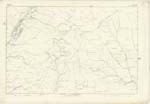
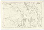
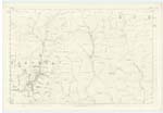
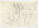
| GLENGAP BURN | Glengap Burn Glengap Burn Glengap Burn |
William Carruthers Farmer William Laidlaw Shepherd William Bell Shepherd |
017; 025 | A small stream rising amongst the hills of Craig Fell and Priestfell Head, it falls into Wamphray Water. |
| GLENGAP SHANK | Glengap Shank Glengap Shank Glengap Shank |
William Carruthers Farmer William Laidlaw Shepherd William Bell Shepherd |
025 | A long and narrow ridge of land on the east side of Wamphray Water it stretches from Brokenback to Glengap Burn, having a steep declivity. |
| WAMPHARY PLANTATION | 025 | |||
| WAMPHRAY WATER | Wamphray Water Wamphray Water Wamphray water |
Fullartons Imperial Gazeteer Johnstones County Map Blackwoods County Map |
017; 024; 025; 033 | A large stream rising at March Well at the Northern boundary of the Parish, it falls into the River Annan. |
Continued entries/extra info
62 Parish of Wamphray Plan 25.5 Trace 3Glengap Shank situation 1 1/4 mile North East from Risp Hill
Wamphray Water situation From the North East point of the Parish South South West to River Annan.
No entry for Wamphray Plantation
Charles J Fearnside Sapper Royal Engineers
Transcribers who have contributed to this page.
stellas
Location information for this page.