OS1/14/60/1


| List of names as written | Various modes of spelling | Authorities for spelling | Situation | Description remarks |
|---|---|---|---|---|
| LETHNOT AND NAVAR | Lethnot & Navar Lethnot & Navar Lethnot & Navar Lethnot & Navar Lethnot & Navar |
New Stat: [Statistical] Account Old Stat: [Statistical] Account Fullarton's Gazetteer Sheriff's Returns Valuation Roll |
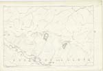
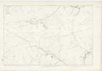
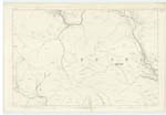
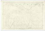
011; 012; 013; 018; 019 | "The parishes of Navar and Lethnot, prior to the year 1723, were two separate charges: Before their union the parish of Lochlee & Lethnot were one charge. But as Lochlee is distant from Lethnot ten miles, & as the road was found always inconvenient, & often dangerous, especially in winter, it was judged proper by all concerned, about the year 1723, to disjoin Lochlee from Lethnot, to make the former a separate charge, and to annex Navar to the latter. Navar & Lethnot thus united are bounded on the North by the parish of Lochlee; on the North & East by the parish of Edzell: on the East by the parish of Stracathro; on the South East by the parish of Menmuir; on the South by the parishes of Fearn & Tannadice; and on the West by the parish of Cortachy & Clova" Old Stat: [Statistical] Account. The cultivated & inhabited part of the parish lies along the West Water & its tributary streams. The rest consists of Hills (which form part of the Grampian Range) and Moorland. The West Water runs through the parish [continued on page 2] |
Continued entries/extra info
Page 1Transcribers who have contributed to this page.
Alison James- Moderator, KBMW- Moderator
Location information for this page.
Linked mapsheets.