
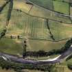
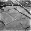
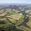
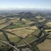
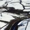
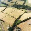
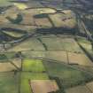
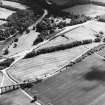
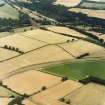
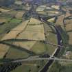
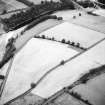
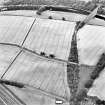
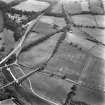
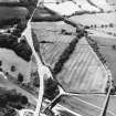
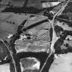
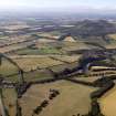
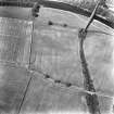
General oblique aerial view centred on the cropmarks of the Roman fort, Roman temporary camps and fort annexes with the railway viaduct adjacent, taken from the N.
View in Canmore
View in Canmore

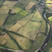
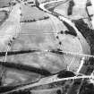
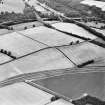
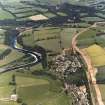
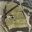
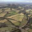
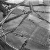
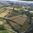
General oblique aerial view centred on the cropmarks of the Roman fort, Roman temporary camps and fort annexes with the railway viaduct adjacent and village in the distance, taken from the NE.
View in Canmore
View in Canmore

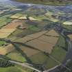
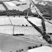
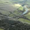
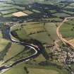
General oblique aerial view with the railway viaduct in the foreground and the village, town and remains of the fort in the distance, taken from the NE.
View in Canmore
View in Canmore

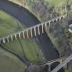
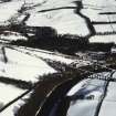
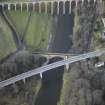
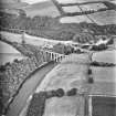
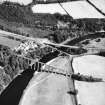
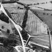
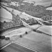
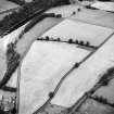
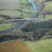
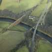
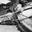
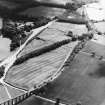
Oblique aerial view centred on the Leaderfoot railway viaduct, Drygrange Bridge and new road bridge, taken from the ESE.
View in Canmore
View in Canmore

Oblique aerial view centred on the Leaderfoot railway viaduct, Drygrange Bridge and new road bridge, taken from the NW.
View in Canmore
View in Canmore

View from E
View in Canmore
View in Canmore

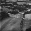
Leaderfoot Viaduct and Road Bridge, Leaderfoot. Oblique aerial photograph taken facing south-east. This image has been produced from a print.
View in Canmore
View in Canmore

Oblique aerial view.
View in Canmore
View in Canmore

Oblique aerial view.
View in Canmore
View in Canmore

Oblique aerial view.
View in Canmore
View in Canmore

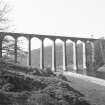
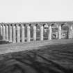
View from SE.
View in Canmore
View in Canmore

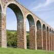
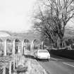
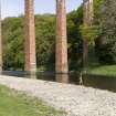
Leaderfoot Viaduct
View from SW
View in Canmore
View in Canmore

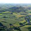
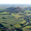
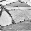
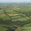
General oblique aerial view centred on the cropmarks of the Roman fort and Roman temporary camps with the town, village and remains of the fort in the distance and the railway viaduct and road bridge in the foreground, taken from the NE.
View in Canmore
View in Canmore

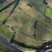
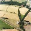
General oblique aerial view centred on the cropmarks of the Roman fort, Roman temporary camps and fort annexes with the railway viaduct adjacent, taken from the N.
View in Canmore
View in Canmore

General oblique aerial view centred on the remains of the fort, with the village, road bridge and railway viaduct adjacent, taken from the E.
View in Canmore
View in Canmore

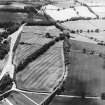
General oblique aerial view centred on the cropmarks of the Roman fort, Roman temporary camps and fort annexes with the railway viaduct and road bridge adjacent, taken from the NW.
View in Canmore
View in Canmore

General oblique aerial view centred on the cropmarks of the Roman fort and Roman temporary camps with the town, village and remains of the fort in the distance and the railway viaduct and road bridge in the foreground, taken from the NE.
View in Canmore
View in Canmore

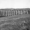
General view from ESE
View in Canmore
View in Canmore

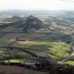
General oblique aerial view looking across the bridge, viaduct, village and site of the Roman fort towards the fort and Eildon Hills, taken from the NNE.
View in Canmore
View in Canmore

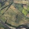
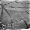
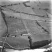
Oblique aerial view of Newstead centred on the cropmarks of the eastern annexe, enclosure and Roman temporary camps with Roman fort adjacent, taken from the SSE.
View in Canmore
View in Canmore

Oblique aerial view.
View in Canmore
View in Canmore

General view from ESE
View in Canmore
View in Canmore

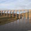
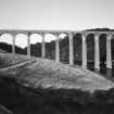
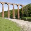
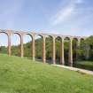
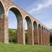
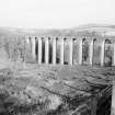
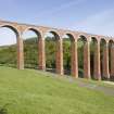
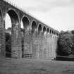
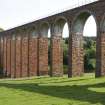
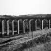
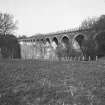
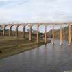
View of Leaderfoot railway viaduct from SSE.
The line is now closed.
View in Canmore
View in Canmore

General oblique aerial view looking across the bridge, viaduct, village and site of the Roman fort towards the fort and Eildon Hills, taken from the NE.
View in Canmore
View in Canmore

Leaderfoot Viaduct and Road Bridge, Leaderfoot. Oblique aerial photograph taken facing south-west. This image has been produced from a print.
View in Canmore
View in Canmore

Oblique aerial view.
View in Canmore
View in Canmore

Oblique aerial view.
View in Canmore
View in Canmore

Oblique aerial view.
View in Canmore
View in Canmore

Oblique aerial view of Newstead centred on the cropmarks of the eastern annexe, enclosure and Roman temporary camps with Roman fort adjacent, taken from the SE.
View in Canmore
View in Canmore

Oblique aerial view of Newstead centred on the cropmarks of the Roman fort, eastern and southern annexes, enclosure and Roman temporary camps, taken from the SW.
View in Canmore
View in Canmore

Oblique aerial view of Newstead centred on the cropmarks of the Roman fort, eastern and southern annexes, enclosure and Roman temporary camps, taken from the SW.
View in Canmore
View in Canmore

Oblique aerial view.
View in Canmore
View in Canmore

General view.
View in Canmore
View in Canmore

Leaderfoot Viaduct
View from SE
View in Canmore
View in Canmore

General oblique aerial view centred on the cropmarks of the Roman fort, Roman temporary camps and fort annexes with the village, railway viaduct and road bridge adjacent, taken from the S.
View in Canmore
View in Canmore

Oblique aerial view centred on the Leaderfoot railway viaduct, Drygrange Bridge and new road bridge, taken from the E.
View in Canmore
View in Canmore

General view from ESE
View in Canmore
View in Canmore

Oblique aerial view.
View in Canmore
View in Canmore

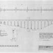
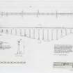
Photographic copy of plan, East Elevation with item list and brief description
d:'9/12/1989'
View in Canmore
View in Canmore

Oblique aerial view
Filed in archaeology box file
View in Canmore
View in Canmore

Oblique aerial view of Newstead centred on the cropmarks of the Roman fort, annexes, and Roman temporary camps, taken from the SW.
View in Canmore
View in Canmore

Oblique aerial view of Newstead centred on the cropmarks of the eastern annexe, enclosure and Roman temporary camps with Roman fort adjacent, taken from the NNE.
View in Canmore
View in Canmore

General view.
View in Canmore
View in Canmore

Leaderfoot Viaduct
View from SW
View in Canmore
View in Canmore

General oblique aerial view centred on the cropmarks of the Roman fort and Roman temporary camp with the railway viaduct and road bridge adjacent, taken from the E.
View in Canmore
View in Canmore

Oblique aerial view.
View in Canmore
View in Canmore

Newstead, oblique aerial view, taken from the W, showing the Newstead By-pass under construction, and Leaderfoot Viaduct in the top right-hand corner of the photograph.
View in Canmore
View in Canmore

Oblique aerial view.
View in Canmore
View in Canmore

Oblique aerial view.
View in Canmore
View in Canmore

Oblique aerial view
Filed in archaeology box file
View in Canmore
View in Canmore

Oblique aerial view
Filed in archaeology box file
View in Canmore
View in Canmore

Oblique aerial view
Filed in archaeology box file
View in Canmore
View in Canmore

Oblique aerial view of Newstead centred on the cropmarks of the eastern annexe, enclosure and Roman temporary camps with Roman fort adjacent, taken from the SSE.
View in Canmore
View in Canmore

Oblique aerial view centred on the cropmarks of Newstead Roman fort and Roman temporary camps with Melrose town and remains of the Eildon Hill North fort in the distance and the Leaderfoot railway viaduct and road bridge in the foreground, taken from the NE. The viaduct is no longer in use.
View in Canmore
View in Canmore

General oblique aerial view centred on the Leaderfoot railway viaduct, Drygrange Bridge and new road bridge, taken from the NE.
View in Canmore
View in Canmore

View from SW
View in Canmore
View in Canmore

View from SSE
View in Canmore
View in Canmore

General oblique aerial view with the viaduct and road bridges in the foreground, taken from the W.
View in Canmore
View in Canmore

Oblique aerial view.
View in Canmore
View in Canmore

Oblique aerial view
View in Canmore
View in Canmore

Oblique aerial view.
View in Canmore
View in Canmore

Oblique aerial view
View in Canmore
View in Canmore

Oblique aerial view
View in Canmore
View in Canmore

Oblique aerial view
Filed in archaeology box file
View in Canmore
View in Canmore

Oblique aerial view
Filed in archaeology box file
View in Canmore
View in Canmore

Leaderfoot Viaduct, NT53SE 76, Ordnance Survey index card, Recto
View in Canmore
View in Canmore

General view.
View in Canmore
View in Canmore

View from SW.
View in Canmore
View in Canmore

General oblique aerial view centred on the cropmarks of the Roman fort and Roman temporary camps with the town, village and remains of the fort in the distance and the railway viaduct and road bridge in the foreground, taken from the NNE.
View in Canmore
View in Canmore

General oblique aerial view with the railway viaduct in the foreground and the village, town and remains of the fort in the distance, taken from the NE.
View in Canmore
View in Canmore

Oblique aerial view centred on the Leaderfoot railway viaduct, Drygrange Bridge and new road bridge, taken from the E.
View in Canmore
View in Canmore

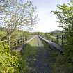
Viaduct deck. view from SSW
View in Canmore
View in Canmore

View from ESE
View in Canmore
View in Canmore

Newstead, oblique aerial view, taken from the WNW, showing the Newstead By-pass under construction, and Leaderfoot Viaduct in the top right-hand corner of the photograph.
View in Canmore
View in Canmore

Leaderfoot Viaduct
View from SSW
View in Canmore
View in Canmore

Oblique aerial view centred on the Leaderfoot railway viaduct, Drygrange Bridge and new road bridge, taken from the SE.
View in Canmore
View in Canmore

View from E
View in Canmore
View in Canmore

Leaderfoot Viaduct and Road Bridge, Leaderfoot. Oblique aerial photograph taken facing east. This image has been produced from a print.
View in Canmore
View in Canmore

Plan, East Elevation with item list and brief description
d:'9/12/1989'
View in Canmore
View in Canmore

Oblique aerial view.
View in Canmore
View in Canmore

Oblique aerial view
View in Canmore
View in Canmore

Oblique aerial view
Filed in archaeology box file
View in Canmore
View in Canmore
You may copy, display, store and make derivative works for personal use or use solely within an educational institution by staff and students, under these conditions: the ScotlandsPlaces website is attributed, there is no commercial use or sale, and no public distribution (for example, by hand, email, or web). Full licence details.
Details
Organisation: Historic Environment Scotland (HES)
Alternative name(s): River Tweed; Drygrange Railway Viaduct; British Rail Bridge Number 401/61; 'tripontium'; Bridge Pool; Blackrock Pool
Canmore ID: 55689
Site type: Railway Viaduct (19th Century)
County: Roxburghshire
Parish: Melrose
Council: Scottish Borders, The


