
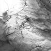
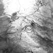
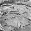
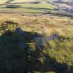
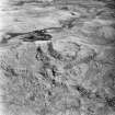
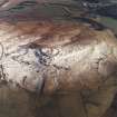
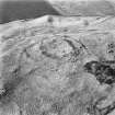
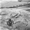
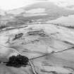
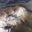
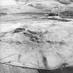
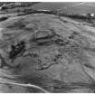
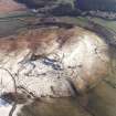
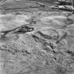
Oblique aerial view of Dreva Craig centred on the reamins of a fort, taken from the ESE.
Digital image of D/69846/CN.
View in Canmore
View in Canmore

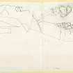
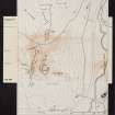
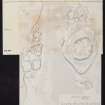
Reduced photocopy of detailed plans, to support creation of PBD 101/1 (Fig. 90)
View in Canmore
View in Canmore

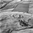
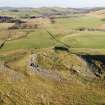
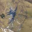
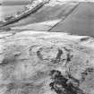
Oblique aerial view centred on the remains of the fort, settlements and field system, taken from the ENE.
View in Canmore
View in Canmore

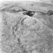
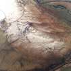
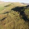
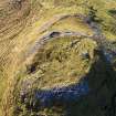
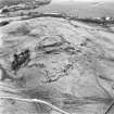
Oblique aerial view centred on the remains of the fort, settlements and field system, taken from the NW.
View in Canmore
View in Canmore

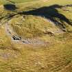
Oblique aerial view centred on the remains of the fort, settlements and field system, taken from the WSW.
View in Canmore
View in Canmore

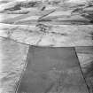
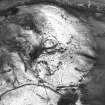
Oblique aerial view.
View in Canmore
View in Canmore

Aerial view
View in Canmore
View in Canmore

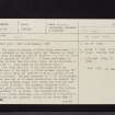
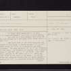
Dreva Craig, NT13NW 8, Ordnance Survey index card, page number 1, Recto
View in Canmore
View in Canmore

Dreva Craig, NT13NW 8, Ordnance Survey index card, page number 1, Recto
View in Canmore
View in Canmore

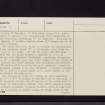
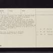
Dreva Craig, NT13NW 8, Ordnance Survey index card, page number 2, Verso
View in Canmore
View in Canmore

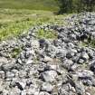
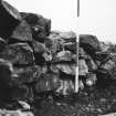
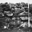
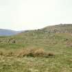
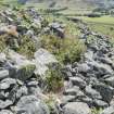
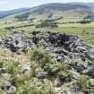
General view of the collapsed inner wall along the NE, with later structures
View in Canmore
View in Canmore

Oblique aerial view centred on the remains of the fort, settlements and field system, taken from the SW.
View in Canmore
View in Canmore

Oblique aerial view.
View in Canmore
View in Canmore

Oblique aerial view.
View in Canmore
View in Canmore

Oblique aerial view
View in Canmore
View in Canmore

Oblique aerial view
View in Canmore
View in Canmore

Oblique aerial view
View in Canmore
View in Canmore

Oblique aerial view
View in Canmore
View in Canmore

Dreva Craig, NT13NW 8, Ordnance Survey index card, page number 1, Recto
View in Canmore
View in Canmore

Dreva Craig, NT13NW 8, Ordnance Survey index card, page number 2, Verso
View in Canmore
View in Canmore


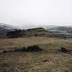
Copy of colour slide showing view of Dreva Fort, Peeblesshire - view from SW showing chevaux de frises
NMRS Survey of Private Collection
Digital Image only
View in Canmore
View in Canmore

Oblique aerial view centred on the remains of the fort, settlements and field system with the farmsteading adjacent, taken from the N.
View in Canmore
View in Canmore

Oblique aerial view centred on the remains of the fort, settlements and field system, taken from the SW.
View in Canmore
View in Canmore

The entrance to the inner wall of the fort at Dreva Craig, clearly modified by later work
View in Canmore
View in Canmore

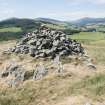
The modern marker cairn within the fort at Dreva Craig
View in Canmore
View in Canmore

Oblique aerial view of Dreva Craig centred on the remains of a fort, taken from the ESE.
View in Canmore
View in Canmore

Aerial view
View in Canmore
View in Canmore

Dreva Craig, NT13NW 8, Ordnance Survey index card, Recto
View in Canmore
View in Canmore

Oblique aerial view centred on the remains of the fort, settlements and field system with the farmsteading adjacent, taken from the NW.
View in Canmore
View in Canmore

Oblique aerial view centred on the remains of the fort, settlements and field system, taken from the SW.
View in Canmore
View in Canmore

Oblique aerial view centred on the remains of the fort, settlements and field system, taken from the NE.
View in Canmore
View in Canmore

Oblique aerial view.
View in Canmore
View in Canmore

Oblique aerial view
View in Canmore
View in Canmore

Oblique aerial view
View in Canmore
View in Canmore

Oblique aerial view
View in Canmore
View in Canmore


Oblique aerial view centred on the remains of the fort, settlements and field system, taken from the NW.
View in Canmore
View in Canmore

Oblique aerial view.
View in Canmore
View in Canmore

Oblique aerial view.
View in Canmore
View in Canmore

Oblique aerial view
View in Canmore
View in Canmore

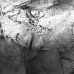
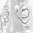
Publication drawing; plan of fort and settlements X and Y, Dreva. Photographic copy.
View in Canmore
View in Canmore

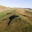
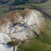
Oblique aerial view of Dreva Craig
View in Canmore
View in Canmore

Copy of colour slide showing view of Dreva Fort, Peeblesshire - chevaux de frises on SW side
NMRS Survey of Private Collection
Digital Image only
View in Canmore
View in Canmore

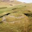
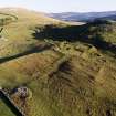
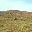
Oblique aerial view of Dreva Craig fort, settlements and field system, looking SW.
View in Canmore
View in Canmore

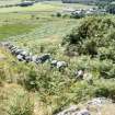
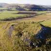
The inner wall of the fort along the SW, where it may have been exposed by antiquarian digging
View in Canmore
View in Canmore

Oblique aerial view centred on the remains of the fort, settlements and field system with the farmsteading adjacent, taken from the NNE.
View in Canmore
View in Canmore

Oblique aerial view.
View in Canmore
View in Canmore

Oblique aerial view.
View in Canmore
View in Canmore

Oblique aerial view of Dreva Craig fort, settlements and field system, looking WSW.
View in Canmore
View in Canmore

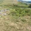
Fort interior. The footings of what has been interpreteted as a roundhouse, secondary to the fort wall.
View in Canmore
View in Canmore

A large and relatively recent structure constructed within the fort wall at the S
View in Canmore
View in Canmore

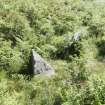
Two stones which form part of the chevaux de frise
View in Canmore
View in Canmore

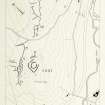
Publication drawing; fort, settlements and field system, Dreva
View in Canmore
View in Canmore

Plane table survey: Fort and Settlement, Dreva Hill, p.4 of 10
View in Canmore
View in Canmore

Plane-table survey: Dreva Hill (Sheet 1 of 10); fort and chevauz de frise.
View in Canmore
View in Canmore

Oblique aerial view.
View in Canmore
View in Canmore

Aerial view
View in Canmore
View in Canmore

Oblique aerial view of Dreva Craig fort, settlements and field system, looking SSE.
View in Canmore
View in Canmore

Oblique aerial view centred on the remains of the fort, settlements and field system with the farmsteading adjacent, taken from the N.
View in Canmore
View in Canmore

Oblique aerial view.
View in Canmore
View in Canmore

Oblique aerial view.
View in Canmore
View in Canmore

Oblique aerial view
View in Canmore
View in Canmore

Aerial view
View in Canmore
View in Canmore

Dreva Craig, NT13NW 8, Ordnance Survey index card, page number 3, Recto
View in Canmore
View in Canmore

Dreva Craig, NT13NW 8, Ordnance Survey index card, page number 1, Recto
View in Canmore
View in Canmore
You may copy, display, store and make derivative works for personal use or use solely within an educational institution by staff and students, under these conditions: the ScotlandsPlaces website is attributed, there is no commercial use or sale, and no public distribution (for example, by hand, email, or web). Full licence details.
Details
Organisation: Historic Environment Scotland (HES)
Alternative name(s):
Canmore ID: 49881
Site type: Chevaux De Frise (prehistoric), Fort (prehistoric), Roundhouse(s) (prehistoric)
County: Peebles-shire
Parish: Stobo
Council: Scottish Borders, The


