OS1/5/14/1


| List of names as written | Various modes of spelling | Authorities for spelling | Situation | Description remarks |
|---|---|---|---|---|
| CRANSHAWS (Detached) | Cranshaws (Detached) | Map of Berwickshire Statistical account of Berwickshire Map of Scotland |
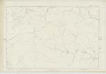
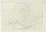
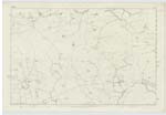
008 ; 009 ; 015 | Cranshaws Parish consists of two separate & distinct pieces of ground one lying South of the other & divided or Separated by the parish of Longformacus. which is about 11/4 Mile broad. The southern portion is called (Detached) the northern portion is the parish proper - for which See Description. This Southern or detached Section has for its boundary line on the North & East by Longformacus, on the South by Westruther, on the West by Lauder & Longformacus; & is of an oblong form, measuring 41/2 Miles in extreme length, & 21/4 in extreme breadth. This section has for its boundary line on the North, & partly on the East the Dye Water. & it is traversed from West to East [continued on page 2] |
Continued entries/extra info
[Page] 1Parish of Cranshaws (Detached) -- W. Beatty
Transcribers who have contributed to this page.
Trondragirl- Moderator, Moira L- Moderator
Location information for this page.